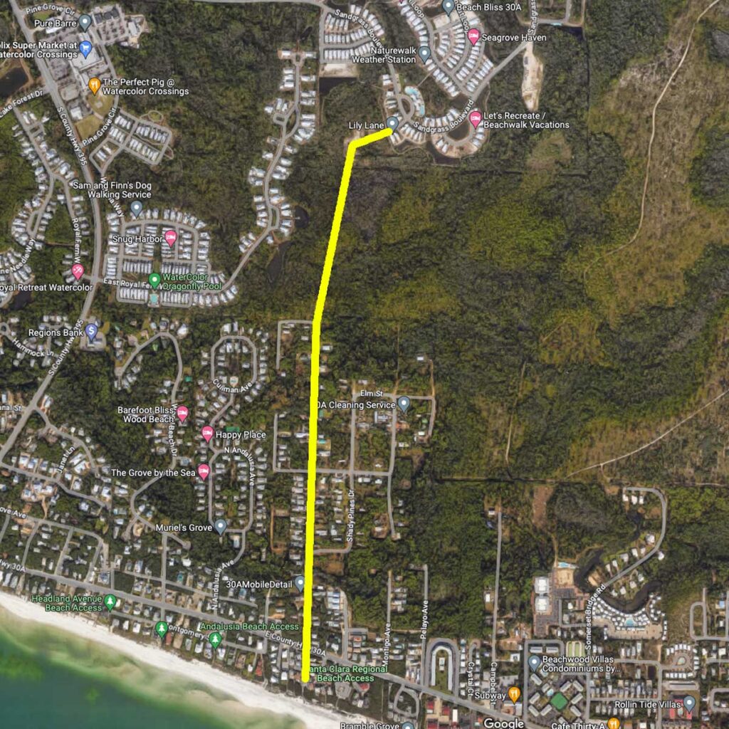
A common question and searched item are what is the closest beach access for NatureWalk at Seagrove?
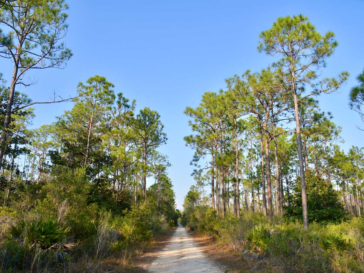
Walking / Biking (1.5 miles) The easiest path to the beach is walking/riding a bike on the Lilly Lane Beach Trail to San Juan Ave. directly to San Juan beach access across 30A (no services), or to the Santa Clara Regional Beach Access further to the east 0.1 miles (restroom and changing rooms available)
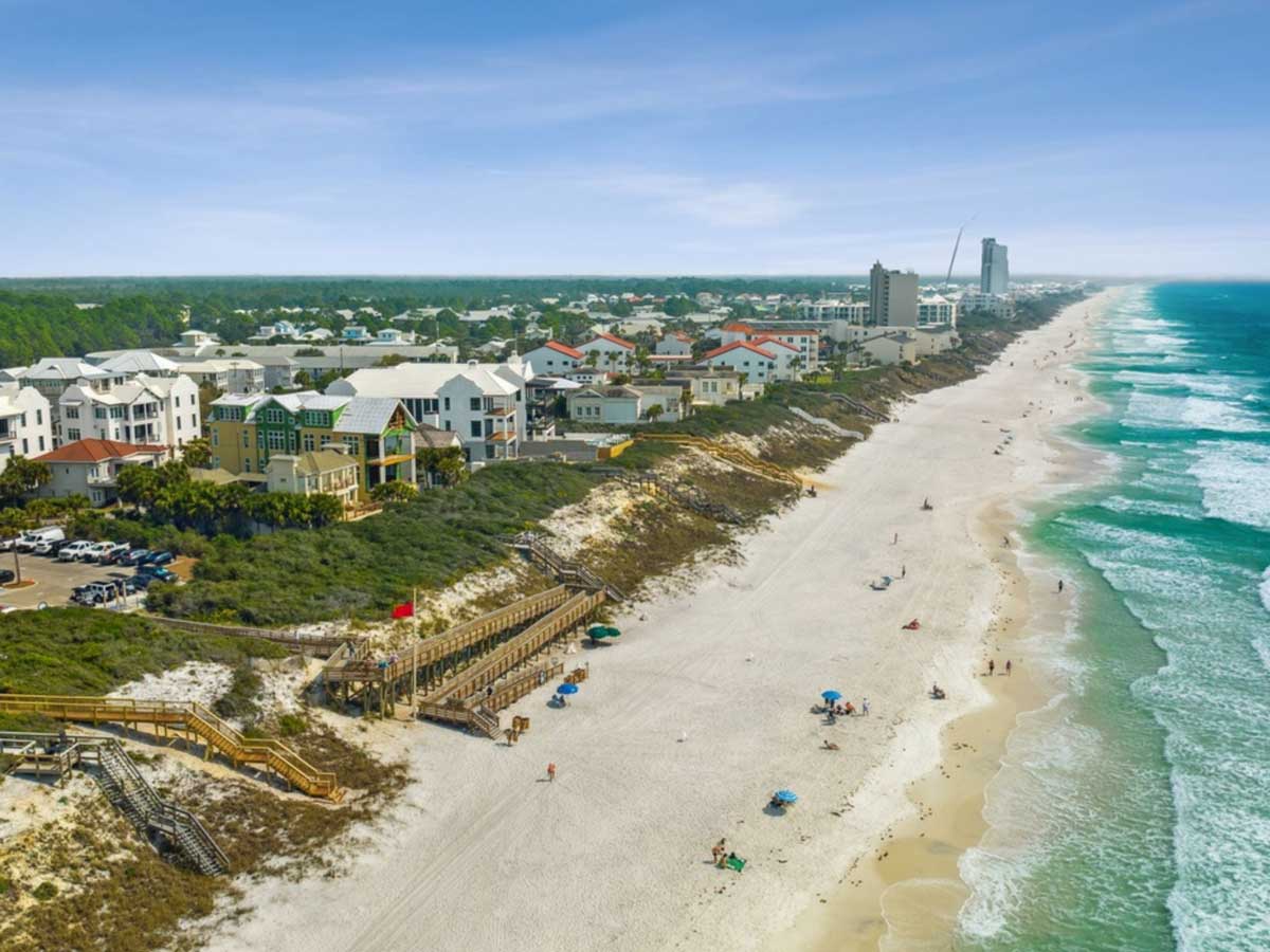
Driving to Santa Clara Regional Beach Access (2.9 miles) The Santa Clara Regional Beach Access has restrooms, changing rooms and a ramp to the beach. Public parking is available at this regional beach access and across 30A.
Driving to Grayton Beach State Park (4.1 miles) The Grayton Beach State Park is a nationally ranked Nature Wonderland with something for everyone. This Florida State Park has a public beach access point with parking and restrooms.
IMPORTANT
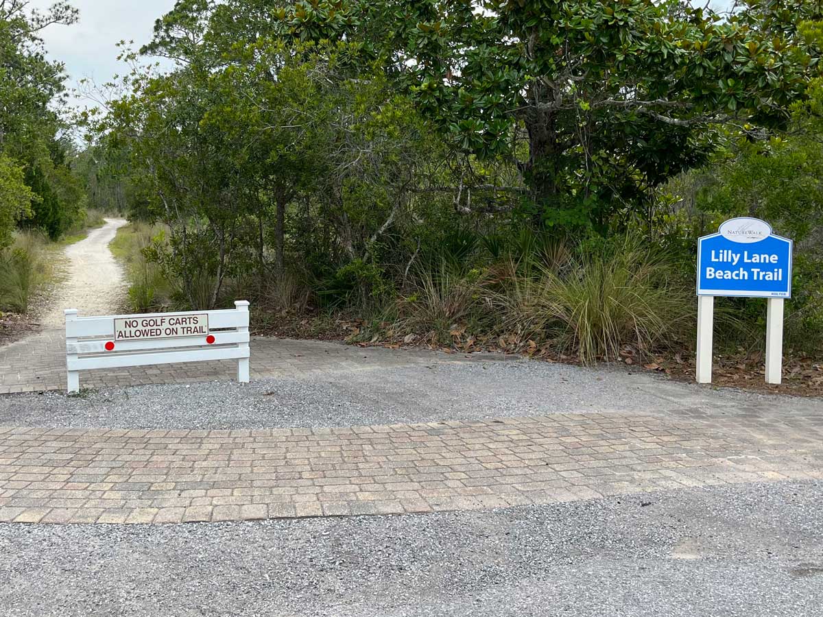
Lilly Lane Beach Trail passes through the Florida State Forest, and motorized vehicles such as Low-Speed vehicles (LSV) / carts are NOT allowed.
There are barriers on BOTH ends of the beach trail that do NOT allow an LSV/cart to be driven down the path.
Walking and Biking are perfect on this beach trail.
Google Maps
The NatureWalk Lilly Lane Beach Trail is also on Google Maps for beach trip planning.